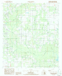
1986 Map of Boneset Creek
USGS Topo · Published 1986About this map
Boneset Creek and its many tributaries, including Crow Branch and Pen Branch, wind through this section of Beauregard Parish in the mid-1980s. The landscape is defined by its complex drainage network, where Bundick Creek flows toward the prominent Bundick Lake in the southeast corner. Human activity is marked by the small settlement of Longacre and industrial features like a Gravel Pit near the northern boundary.
Find a feature on this map
35 named features on this map. Tap any name to fly to it.
Don’t see what you’re looking for? This feature index may not catch every label — zoom into the map to look around manually.
Map Details
Editions of this 1986 Boneset Creek Map
This is the sole edition of this map. No revisions or reprints were ever made.
Other maps of this area

1947 · DeRidder
USGS Topo · 1:31,680

1947 · Rosepine
USGS Topo · 1:31,680

1947 · Ikes
USGS Topo · 1:31,680

1947 · Chasmore
USGS Topo · 1:31,680

1947 · Bundick
USGS Topo · 1:31,680

1947 · Beckwith School
USGS Topo · 1:31,680

1947 · Sugartown
USGS Topo · 1:31,680

1947 · Bannister
USGS Topo · 1:31,680

1947 · Sugrue
USGS Topo · 1:31,680
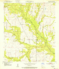
1950 · Dry Creek
USGS Topo · 1:24,000