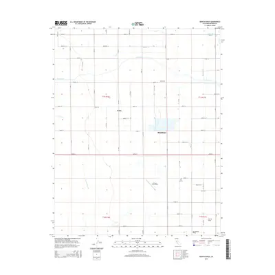
2015 Map of Bonita Ranch
USGS Topo · Published 2015About this map
The Fresno River and Dry Cr cross this section of the San Joaquin Valley, where the landscape is defined by the rigid grid of the Public Land Survey System. In this 2015 view of Madera, the territory is organized into agricultural blocks served by an extensive network of named roads, including Avenue 12 and Road 21. The complex water management system essential for Central Valley farming is visible through features like the Gravelly Ford Canal and Airport Ditch. Local aviation and community landmarks are represented by the El Peco Ranch Airport and New Hope Cem, while the small settlement areas of Bonita and Bonita Ranch anchor the northern portion of the quadrangle. This layout reflects the modern intersection of industrial-scale agriculture and rural residential development in the heart of the San Joaquin Valley.
Find a feature on this map
46 named features on this map. Tap any name to fly to it.
Don’t see what you’re looking for? This feature index may not catch every label — zoom into the map to look around manually.
Map Details
Editions of this 2015 Bonita Ranch Map
This is the sole edition of this map. No revisions or reprints were ever made.
Other maps of this area

1916 · Berenda
USGS Topo · 1:31,680

1918 · Chowchilla
USGS Topo · 1:31,680

1918 · Berenda
USGS Topo · 1:31,680

1920 · Kismet
USGS Topo · 1:31,680

1920 · Bonita Ranch
USGS Topo · 1:31,680

1921 · Mendota
USGS Topo · 1:31,680

1921 · Bonita Ranch
USGS Topo · 1:31,680

1922 · Kentucky Well
USGS Topo · 1:31,680

1922 · Madera
USGS Topo · 1:31,680

1923 · Biola
USGS Topo · 1:31,680