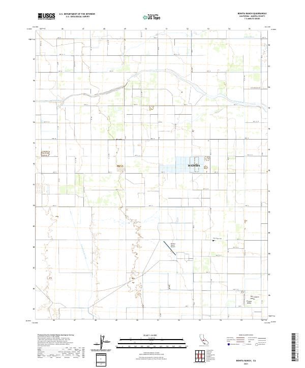
2021 Map of Bonita Ranch
USGS Topo · Published 2021About this map
The Fresno River meanders across this agricultural landscape, marking the transition between the vast open spaces of the San Joaquin Valley and the growing municipal footprint of Madera. This region is defined by an intricate network of irrigation and water management, visible through features like the Gravelly Ford Canal, the Airport Ditch, and Dry Cr. The settlement of Bonita stands as a focal point among the grid of county roads that parcel the land into productive farmsteads. Local landmarks such as the El Peco Ranch Airport and the New Hope Cem provide specific points of interest for genealogists and local historians tracking the development of this portion of the Central Valley. The map detail captures the high-precision survey lines of townships T11S and T12S, illustrating how water access and road infrastructure have historically shaped the rural character of this Madera County territory.
Find a feature on this map
47 named features on this map. Tap any name to fly to it.
Don’t see what you’re looking for? This feature index may not catch every label — zoom into the map to look around manually.
Map Details
Editions of this 2021 Bonita Ranch Map
This is the sole edition of this map. No revisions or reprints were ever made.
Other maps of this area

1916 · Berenda
USGS Topo · 1:31,680

1918 · Chowchilla
USGS Topo · 1:31,680

1918 · Berenda
USGS Topo · 1:31,680

1920 · Kismet
USGS Topo · 1:31,680

1920 · Bonita Ranch
USGS Topo · 1:31,680

1921 · Mendota
USGS Topo · 1:31,680

1921 · Bonita Ranch
USGS Topo · 1:31,680

1922 · Kentucky Well
USGS Topo · 1:31,680

1922 · Madera
USGS Topo · 1:31,680

1923 · Biola
USGS Topo · 1:31,680