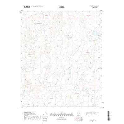
2021 Map of Bonito Rock
USGS Topo · Published 2021About this map
The White Mountains dominate this high-altitude landscape in eastern Arizona, where a complex network of streams and seasonal wetlands defines the drainage patterns. Significant water bodies like Reservation Lake and Hurricane Lake are central features, alongside numerous namesake cienegas—alpine meadows or marshes—including Upper Pacheta Cienega, Deep Cienega, and Race Horse Cienega. These wetlands, often found at the headwaters of creeks like Pacheta Cr and Reservation Cr, suggest a environment of fluctuating seasonal water availability typical of the region's volcanic plateaus.
Find a feature on this map
43 named features on this map. Tap any name to fly to it.
Don’t see what you’re looking for? This feature index may not catch every label — zoom into the map to look around manually.
Map Details
Editions of this 2021 Bonito Rock Map
This is the sole edition of this map. No revisions or reprints were ever made.
Other maps of this area

1922 · Nutrioso
USGS Topo · 1:125,000

1954 · Clifton
USGS Topo · 1:250,000

1957 · Clifton
USGS Topo · 1:250,000

1958 · Clifton
USGS Topo · 1:250,000

1958 · Hannagan Meadow
USGS Topo · 1:62,500

1958 · Big Lake
USGS Topo · 1:62,500

1962 · Clifton
USGS Topo · 1:250,000

1967 · Marshall Butte
USGS Topo · 1:24,000
1967 · Bonito Rock
USGS Topo · 1:24,000

1967 · Odart Mtn
USGS Topo · 1:24,000