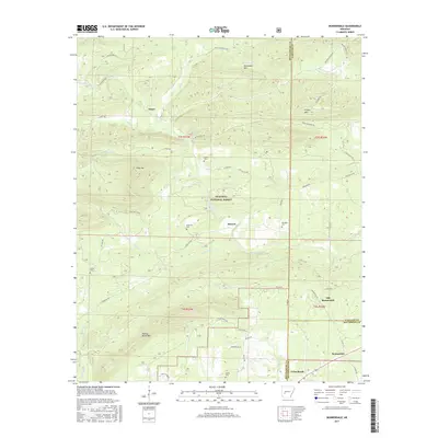
2017 Map of Bonnerdale
USGS Topo · Published 2017About this map
Ouachita National Forest blankets the central portion of this area, where the headwaters of Mazarn Creek and Waterfork Cr carve through a landscape of ridges and peaks. In the late 2010s, this region near the borders of Montgomery, Garland, and Hot Spring counties shows a settlement pattern defined by small rural communities like Alamo, Mazarn, and Old Bonnerdale. To the south, the newer center of Bonnerdale sits along US Hwy 70, reflecting the shift of local activity toward the highway corridor. A dense network of family-named cemeteries, including Howerton Cem, Wacaster Cem, and Adams Cem, provides significant value for genealogists tracing the roots of families who settled the valleys around Pigeon Roost Mtn and Kinsey Mtn. The topography is marked by named elevations such as High Top and Horseshoe Mtn, which have long dictated the winding paths of roads like Caddo Gap Rd and Old Dallas Rd.
Find a feature on this map
57 named features on this map. Tap any name to fly to it.
Don’t see what you’re looking for? This feature index may not catch every label — zoom into the map to look around manually.
Map Details
Editions of this 2017 Bonnerdale Map
This is the sole edition of this map. No revisions or reprints were ever made.
Other maps of this area

1890 · Mount Ida
USGS Topo · 1:125,000

1890 · Hot Springs
USGS Topo · 1:125,000

1894 · Hot Springs
USGS Topo · 1:125,000

1906 · Caddo Gap
USGS Topo · 1:125,000

1936 · Glenwood
USGS Topo · 1:48,000

1942 · Glenwood
USGS Topo · 1:62,500

1949 · Glenwood
USGS Topo · 1:62,500

1955 · Little Rock
USGS Topo · 1:250,000

1956 · Little Rock
USGS Topo · 1:250,000

1959 · Mount Ida
USGS Topo · 1:62,500