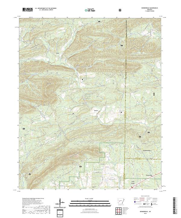
2024 Map of Bonnerdale
USGS Topo · Published 2024About this map
Pigeon Roost Mountain and Little Mazarn Mountain define the high ground of this section of the Ouachita National Forest at the crossroads of Montgomery, Garland, and Hot Spring counties. The landscape is a network of ridges and drainages where small settlements like Alamo, Mazarn, and Old Bonnerdale developed along the winding course of Mazarn Creek. For those tracing local families, the map includes several small burial grounds such as Howton Cem, Wacaster Cem, and Adams Cem. The transition from the more established Bonnerdale in the southeast to the higher ridges of Monistary Ridge reflects the settlement patterns typical of these mountain valleys, where homes and roads like Caddo Gap Rd follow the natural contours of the creek beds.
Find a feature on this map
66 named features on this map. Tap any name to fly to it.
Don’t see what you’re looking for? This feature index may not catch every label — zoom into the map to look around manually.
Map Details
Editions of this 2024 Bonnerdale Map
This is the sole edition of this map. No revisions or reprints were ever made.
Other maps of this area

1890 · Mount Ida
USGS Topo · 1:125,000

1890 · Hot Springs
USGS Topo · 1:125,000

1894 · Hot Springs
USGS Topo · 1:125,000

1906 · Caddo Gap
USGS Topo · 1:125,000

1936 · Glenwood
USGS Topo · 1:48,000

1942 · Glenwood
USGS Topo · 1:62,500

1949 · Glenwood
USGS Topo · 1:62,500

1955 · Little Rock
USGS Topo · 1:250,000

1956 · Little Rock
USGS Topo · 1:250,000

1959 · Mount Ida
USGS Topo · 1:62,500