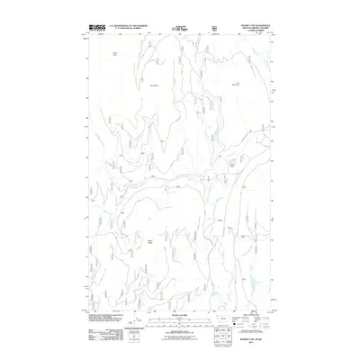
2011 Map of Bonnet Top
USGS Topo · Published 2011About this map
Bonnet Top and Lick Mountain stand as the primary topographical markers in this northwestern Montana landscape, where the Kootenai National Forest region is defined by a dense network of mountain drainages. The Yaak River and the West Fork Yaak River converge here, creating a complex hydrology marked by both Upper Falls and Lower Falls. This 2011 survey details a landscape primarily utilized for forest management and natural resource navigation, indicated by the extensive system of Forest Service roads including Yaak River Rd and W Side Yaak River Rd. Human modification of the waterways is visible at Carlisle Dam, while the remote eastern reaches are home to Hoskins Lake and the drainage of Bunker Hill Creek. The map provides a precise record of the road network and terrain before subsequent forest changes, essential for documenting this specific corner of Lincoln County.
Find a feature on this map
23 named features on this map. Tap any name to fly to it.
Don’t see what you’re looking for? This feature index may not catch every label — zoom into the map to look around manually.
Map Details
Editions of this 2011 Bonnet Top Map
This is the sole edition of this map. No revisions or reprints were ever made.
Other maps of this area

1957 · Kalispell
USGS Topo · 1:250,000

1960 · Kalispell
USGS Topo · 1:250,000

1961 · Kalispell
USGS Topo · 1:250,000

1963 · Yaak
USGS Topo · 1:24,000

1963 · Garver Mountain
USGS Topo · 1:24,000

1963 · Clark Mountain
USGS Topo · 1:24,000

1963 · Bonnet Top
USGS Topo · 1:24,000

1963 · Mount Henry
USGS Topo · 1:24,000

1963 · Lost Horse Mountain
USGS Topo · 1:24,000

1979 · Yaak River
USGS Topo · 1:100,000