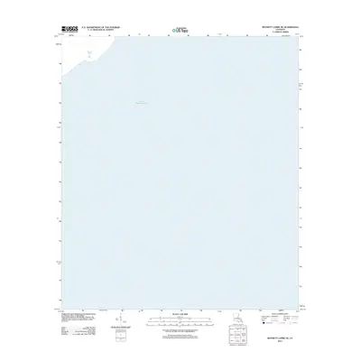
2012 Map of Bonnett Carre NE
USGS Topo · Published 2012About this map
Lake Pontchartrain dominates this maritime survey, covering nearly the entire quadrangle with the open waters of Louisiana's largest lake. The map reflects a modern digital perspective from the U. S. Geological Survey, focusing on hydrographic data and coordinate systems rather than terrestrial settlements. In the upper left corner, a small sliver of shoreline is visible, providing a rare point of reference for the vast aquatic expanse that separates the north and south shores of the basin. This map serves as a clean record of the lake's boundaries as they existed in the early twenty-first century, useful for those studying shoreline changes or navigating the central waters of the lake north of the Bonnet Carré Spillway area.
Find a feature on this map
1 named feature on this map. Tap any name to fly to it.
Don’t see what you’re looking for? This feature index may not catch every label — zoom into the map to look around manually.
Map Details
Editions of this 2012 Bonnett Carre NE Map
This is the sole edition of this map. No revisions or reprints were ever made.
Other maps of this area

1891 · Spanish Fort
USGS Topo · 1:62,500

1892 · Bonnet Carre
USGS Topo · 1:62,500

1935 · Laplace
USGS Topo · 1:31,680

1935 · Covington
USGS Topo · 1:62,500

1935 · Ponchatoula
USGS Topo · 1:62,500

1936 · Ruddock
USGS Topo · 1:31,680

1936 · Bonnet Carre
USGS Topo · 1:62,500

1936 · Spanish Fort
USGS Topo · 1:62,500
1938 · La Branche
USGS Topo · 1:31,680
1938 · Indian Beach
USGS Topo · 1:31,680