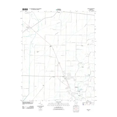
2011 Map of Bono
USGS Topo · Published 2011About this map
The Cache River meanders through the western portion of this 2011 survey, defining a landscape of agricultural drainage and small rural settlements. The BNSF Railway cuts a straight diagonal southeast through the corridor, connecting Pauls Switch and Bono to the wider regional trade network. The presence of numerous drainage projects, such as Number 26 Ditch and Bohanan Slough Ditch, highlights the extensive effort to manage the low-lying terrain for cultivation.
Find a feature on this map
97 named features on this map. Tap any name to fly to it.
Don’t see what you’re looking for? This feature index may not catch every label — zoom into the map to look around manually.
Map Details
Editions of this 2011 Bono Map
This is the sole edition of this map. No revisions or reprints were ever made.
Other maps of this area

1932 · Walnut Ridge
USGS Topo · 1:62,500

1935 · Sedgwick
USGS Topo · 1:62,500

1935 · Walnut Ridge
USGS Topo · 1:62,500

1939 · Jonesboro
USGS Topo · 1:62,500

1940 · Gainesville
USGS Topo · 1:62,500

1953 · Memphis
USGS Topo · 1:250,000

1956 · Memphis
USGS Topo · 1:250,000

1957 · Poplar Bluff
USGS Topo · 1:250,000

1958 · Jonesboro
USGS Topo · 1:62,500

1958 · Gainesville
USGS Topo · 1:62,500