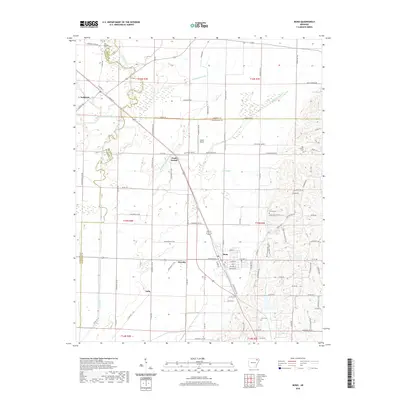
2020 Map of Bono
USGS Topo · Published 2020About this map
The BNSF Railway corridor serves as a central spine through this region of Craighead County, connecting the established community of Bono with smaller local points like Pauls Switch and the rural vicinity of Dorothy. The landscape is defined by its extensive drainage network, where the Cache River and various sloughs, including West Cache River Slough and Cypress Slu, dictate the placement of roads and farm boundaries.
Find a feature on this map
111 named features on this map. Tap any name to fly to it.
Don’t see what you’re looking for? This feature index may not catch every label — zoom into the map to look around manually.
Map Details
Editions of this 2020 Bono Map
This is the sole edition of this map. No revisions or reprints were ever made.
Other maps of this area

1932 · Walnut Ridge
USGS Topo · 1:62,500

1935 · Sedgwick
USGS Topo · 1:62,500

1935 · Walnut Ridge
USGS Topo · 1:62,500

1939 · Jonesboro
USGS Topo · 1:62,500

1940 · Gainesville
USGS Topo · 1:62,500

1953 · Memphis
USGS Topo · 1:250,000

1956 · Memphis
USGS Topo · 1:250,000

1957 · Poplar Bluff
USGS Topo · 1:250,000

1958 · Jonesboro
USGS Topo · 1:62,500

1958 · Gainesville
USGS Topo · 1:62,500