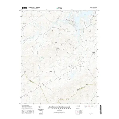
2016 Map of Boomer
USGS Topo · Published 2016About this map
Ferguson and Boomer anchor this section of the western North Carolina foothills, where the Yadkin River flows eastward toward the W Kerr Scott Reservoir. The landscape is defined by the high ridges of the Brushy Mountains and numerous named peaks such as Smith Walker Mtn, Greasy Mtn, and Mars Mtn. This terrain dictates a winding network of roads like Champion Mount Pleasant Rd and Tom Dula Rd, which follow the contours of the many creek valleys.
Find a feature on this map
94 named features on this map. Tap any name to fly to it.
Don’t see what you’re looking for? This feature index may not catch every label — zoom into the map to look around manually.
Map Details
Editions of this 2016 Boomer Map
This is the sole edition of this map. No revisions or reprints were ever made.
Other maps of this area

1889 · Wilkesboro
USGS Topo · 1:125,000

1891 · Wilkesboro
USGS Topo · 1:125,000

1895 · Hickory
USGS Topo · 1:125,000

1953 · Charlotte
USGS Topo · 1:250,000

1953 · Winston-Salem
USGS Topo · 1:250,000

1954 · Charlotte
USGS Topo · 1:250,000

1955 · Winston-Salem
USGS Topo · 1:250,000

1960 · Charlotte
USGS Topo · 1:250,000

1962 · Winston-Salem
USGS Topo · 1:250,000

1962 · Charlotte
USGS Topo · 1:250,000