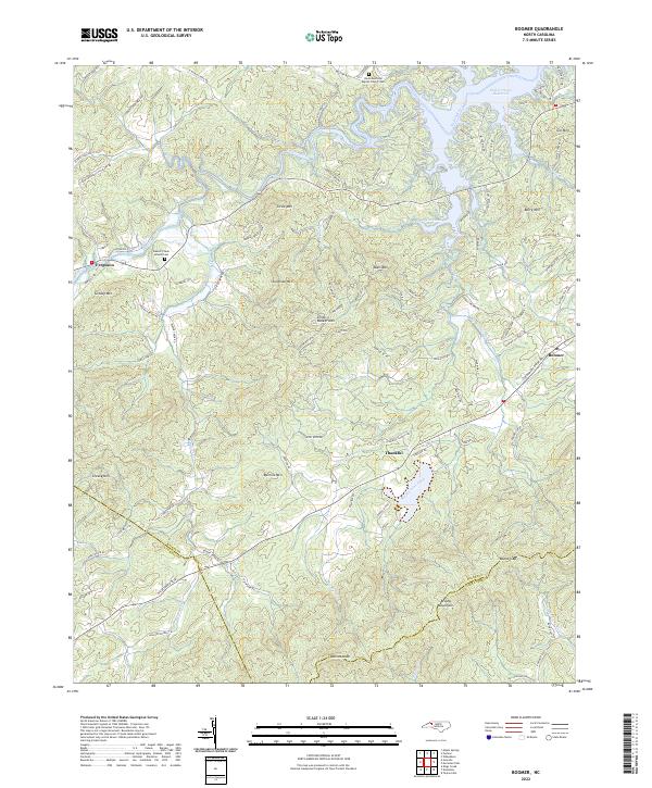
2022 Map of Boomer
USGS Topo · Published 2022About this map
Boomer and the surrounding Foothills landscape of Wilkes County are defined by the sharp rise of the Brushy Mountains and the winding course of the Yadkin River. The northern reaches of the quadrangle are dominated by the W Kerr Scott Reservoir, where Whites Creek and other tributaries feed into the managed waterway. This modern survey illustrates the persistent rural character of the area, where family names are etched into the topography at Stoneman Mtn, McInnis Mtn, and Smith Walker Mtn.
Find a feature on this map
99 named features on this map. Tap any name to fly to it.
Don’t see what you’re looking for? This feature index may not catch every label — zoom into the map to look around manually.
Map Details
Editions of this 2022 Boomer Map
This is the sole edition of this map. No revisions or reprints were ever made.
Other maps of this area

1889 · Wilkesboro
USGS Topo · 1:125,000

1891 · Wilkesboro
USGS Topo · 1:125,000

1895 · Hickory
USGS Topo · 1:125,000

1953 · Charlotte
USGS Topo · 1:250,000

1953 · Winston-Salem
USGS Topo · 1:250,000

1954 · Charlotte
USGS Topo · 1:250,000

1955 · Winston-Salem
USGS Topo · 1:250,000

1960 · Charlotte
USGS Topo · 1:250,000

1962 · Winston-Salem
USGS Topo · 1:250,000

1962 · Charlotte
USGS Topo · 1:250,000