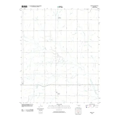
2009 Map of Boone
USGS Topo · Published 2009About this map
The Comanche tribal heritage and rural landscape of Caddo County are central to this 2009 survey. The area is defined by a dense network of sectional roads and several significant watercourses, including the winding East Cache Creek and Tahoe Creek. Cultural and genealogical interest is concentrated near the southern portion of the quadrangle, where the Comanche Indian Cemetery and Cache Creek Cemetery are situated. These sites, located near the confluence of local tributaries like Mission Creek, reflect the deep indigenous roots of the region. To the northwest, Camp George Thomas stands as a notable landmark amidst the agricultural terrain, while the Oknoname 015026 Dam illustrates the local water management infrastructure. The map reveals a transition from open fields to established tribal and community landmarks, providing a clear record of the settlement pattern in the early 21st century.
Find a feature on this map
25 named features on this map. Tap any name to fly to it.
Don’t see what you’re looking for? This feature index may not catch every label — zoom into the map to look around manually.
Map Details
Editions of this 2009 Boone Map
This is the sole edition of this map. No revisions or reprints were ever made.
Other maps of this area

1949 · Elgin
USGS Topo · 1:24,000

1950 · Saddle Mountain
USGS Topo · 1:62,500

1951 · Fort Cobb
USGS Topo · 1:62,500

1955 · Lawton
USGS Topo · 1:250,000

1955 · Clinton
USGS Topo · 1:250,000

1956 · Alden
USGS Topo · 1:24,000

1956 · Boone
USGS Topo · 1:24,000

1956 · Elgin
USGS Topo · 1:24,000

1956 · Richards Spur
USGS Topo · 1:24,000

1956 · Meers
USGS Topo · 1:24,000