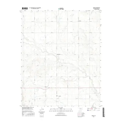
2016 Map of Boone
USGS Topo · Published 2016About this map
The southern plains of Boone in Caddo County are defined by a network of creeks and prairie roads that reveal a deep history of settlement. The landscape is structured around watercourses such as E Cache Cr, Tahoe Cr, and Mission Cr, which traverse the undulating terrain alongside an extensive grid of county roads. Small, established communities like Hatchetville and Broxton are located amidst this agricultural layout, serving as local centers for the surrounding rural territory.
Find a feature on this map
47 named features on this map. Tap any name to fly to it.
Don’t see what you’re looking for? This feature index may not catch every label — zoom into the map to look around manually.
Map Details
Editions of this 2016 Boone Map
This is the sole edition of this map. No revisions or reprints were ever made.
Other maps of this area

1949 · Elgin
USGS Topo · 1:24,000

1950 · Saddle Mountain
USGS Topo · 1:62,500

1951 · Fort Cobb
USGS Topo · 1:62,500

1955 · Lawton
USGS Topo · 1:250,000

1955 · Clinton
USGS Topo · 1:250,000

1956 · Alden
USGS Topo · 1:24,000

1956 · Boone
USGS Topo · 1:24,000

1956 · Elgin
USGS Topo · 1:24,000

1956 · Richards Spur
USGS Topo · 1:24,000

1956 · Meers
USGS Topo · 1:24,000