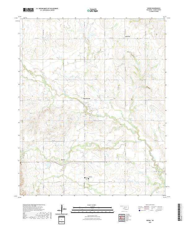
2022 Map of Boone
USGS Topo · Published 2022About this map
The settlement of Boone serves as a central anchor in this section of Caddo County, where the landscape is defined by the winding paths of Tahoe Cr and Mission Cr. The map reveals a rural community deeply connected to its heritage, as evidenced by the presence of the Comanche Indian Cem and Cache Creek Cem located south of the main township. These burial grounds, alongside small rural hubs like Hatchetville and Broxton, highlight the persistent local identity in this part of Oklahoma. The terrain is notably dissected by a dense network of watercourses, including East Cache Creek and Hog Cr, which feed into local catchments like the 015026 Reservoir. A well-organized grid of county roads, such as Co RD 1400 and e1470 RD, provides the primary structure for the agricultural and residential movement across the quadrangle.
Find a feature on this map
35 named features on this map. Tap any name to fly to it.
Don’t see what you’re looking for? This feature index may not catch every label — zoom into the map to look around manually.
Map Details
Editions of this 2022 Boone Map
This is the sole edition of this map. No revisions or reprints were ever made.
Other maps of this area

1949 · Elgin
USGS Topo · 1:24,000

1950 · Saddle Mountain
USGS Topo · 1:62,500

1951 · Fort Cobb
USGS Topo · 1:62,500

1955 · Lawton
USGS Topo · 1:250,000

1955 · Clinton
USGS Topo · 1:250,000

1956 · Alden
USGS Topo · 1:24,000

1956 · Boone
USGS Topo · 1:24,000

1956 · Elgin
USGS Topo · 1:24,000

1956 · Richards Spur
USGS Topo · 1:24,000

1956 · Meers
USGS Topo · 1:24,000