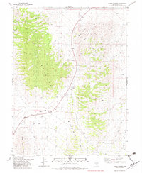
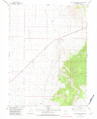
1982 Map of Boone Canyon
USGS Topo · Published 1982About this map
Boone Spring serves as a vital water source in this arid high-desert landscape of eastern Nevada. The terrain is defined by the prominent Antelope Range and the Boone Spring Hills, which together frame the eponymous Boone Canyon. Mapping conducted in the late 1970s and early 1980s reveals a region largely shaped by resource extraction and transit, evidenced by several sites marked simply as Prospect and a Gravel Pit near the range's base. This remote area is crisscrossed by an extensive network of Jeep Trails, indicating the persistent use of the land for exploration and access to the interior of the Red Knoll and Kinsley Draw. The sparse infrastructure of the early 1980s suggests a landscape primarily dedicated to mining interests and cattle range rather than permanent settlement.
Find a feature on this map
9 named features on this map. Tap any name to fly to it.
Don’t see what you’re looking for? This feature index may not catch every label — zoom into the map to look around manually.
Map Details
Editions of this 1982 Boone Canyon Map
This is the sole edition of this map. No revisions or reprints were ever made.
Other maps of this area

1955 · Elko
USGS Topo · 1:250,000

1958 · Elko
USGS Topo · 1:250,000

1962 · Elko
USGS Topo · 1:250,000

1965 · Elko
USGS Topo · 1:250,000

1982 · Chin Creek Spring
USGS Topo · 1:24,000
1982 · Kinsley Mountains
USGS Topo · 1:24,000

1982 · Sharp Peak
USGS Topo · 1:24,000
1982 · Dolly Varden Spring
USGS Topo · 1:24,000
1982 · Goshute Lake NE
USGS Topo · 1:24,000
1982 · White Horse Mountain
USGS Topo · 1:24,000