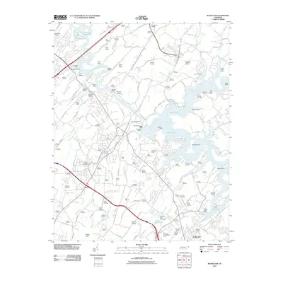
2010 Map of Boone Dam
USGS Topo · Published 2010About this map
The South Fork Holston River defines this corner of East Tennessee, controlled by the massive structure of Boone Dam. The resulting reservoir, Boone Lake, has fundamentally reshaped the local topography, creating prominent landforms like Spurgeon Island and deep inlets such as Deerlick Bend. Further downstream, the waters flow into Fort Patrick Henry Lake, marking a landscape heavily influenced by mid-century hydroelectric and flood control projects.
Find a feature on this map
152 named features on this map. Tap any name to fly to it.
Don’t see what you’re looking for? This feature index may not catch every label — zoom into the map to look around manually.
Map Details
Editions of this 2010 Boone Dam Map
This is the sole edition of this map. No revisions or reprints were ever made.
Other maps of this area

1891 · Roan Mountain
USGS Topo · 1:125,000

1892 · Greeneville
USGS Topo · 1:125,000

1894 · Roan Mountain
USGS Topo · 1:125,000

1894 · Estillville
USGS Topo · 1:125,000

1896 · Greeneville
USGS Topo · 1:125,000

1897 · Bristol
USGS Topo · 1:125,000

1902 · Bristol
USGS Topo · 1:125,000

1904 · Roan Mountain
USGS Topo · 1:125,000

1904 · Greeneville
USGS Topo · 1:125,000

1935 · Sullivan Gardens
USGS Topo · 1:24,000