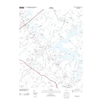
2013 Map of Boone Dam
USGS Topo · Published 2013About this map
The Tri-Cities Regional Airport anchors the northeastern plateau of this landscape, where the convergence of the South Fork Holston and Watauga Rivers has created the expansive Boone Lake. This 2013 survey illustrates the modern residential and commercial density of the Gray and Boones Creek areas, situated along the corridor of Interstate 26. The complex topography is defined by prominent river features such as Spurgeon Island and the dramatic McAfee Bluff, alongside numerous named hollows like Sprolls Hollow and Jackson Hollow.
Find a feature on this map
64 named features on this map. Tap any name to fly to it.
Don’t see what you’re looking for? This feature index may not catch every label — zoom into the map to look around manually.
Map Details
Editions of this 2013 Boone Dam Map
This is the sole edition of this map. No revisions or reprints were ever made.
Other maps of this area

1891 · Roan Mountain
USGS Topo · 1:125,000

1892 · Greeneville
USGS Topo · 1:125,000

1894 · Roan Mountain
USGS Topo · 1:125,000

1894 · Estillville
USGS Topo · 1:125,000

1896 · Greeneville
USGS Topo · 1:125,000

1897 · Bristol
USGS Topo · 1:125,000

1902 · Bristol
USGS Topo · 1:125,000

1904 · Roan Mountain
USGS Topo · 1:125,000

1904 · Greeneville
USGS Topo · 1:125,000

1935 · Sullivan Gardens
USGS Topo · 1:24,000