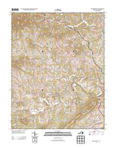
2013 Map of Boones Mill
USGS Topo · Published 2013About this map
Boones Mill serves as a northern anchor in this Franklin County landscape, where the town's namesake stream, Maggodee Cr, flows through the valley. The map reveals a transition from the structured street plan of Rocky Mount in the southeast to the rural agricultural character of Gogginsville and Dugwell. This 2013 survey illustrates how modern development around Melody Lake and family operations like Whispering Oaks Farm and Barney Bay Dairy coexist with the region's natural topography. The Blackwater River snakes through the central terrain, bordered by elevations such as Grassy Hill and Little Mountain. A complex network of local connectors like Boones Mill Rd and Deyerle Knob Rd links smaller settlements like Wirtz and Hickman, showing how the historic rural economy of Virginia's Blue Ridge foothills has adapted to the early 21st century.
Find a feature on this map
189 named features on this map. Tap any name to fly to it.
Don’t see what you’re looking for? This feature index may not catch every label — zoom into the map to look around manually.
Map Details
Editions of this 2013 Boones Mill Map
This is the sole edition of this map. No revisions or reprints were ever made.
Other maps of this area

1890 · Roanoke
USGS Topo · 1:125,000

1890 · Christiansburg
USGS Topo · 1:125,000

1891 · Roanoke
USGS Topo · 1:125,000

1925 · Rocky Mount
USGS Topo · 1:48,000

1927 · Rocky Mount
USGS Topo · 1:62,500

1944 · Rocky Mount
USGS Topo · 1:62,500

1947 · Roanoke
USGS Topo · 1:250,000

1950 · Elliston
USGS Topo · 1:62,500

1951 · Boones Mill
USGS Topo · 1:62,500

1953 · Winston-Salem
USGS Topo · 1:250,000