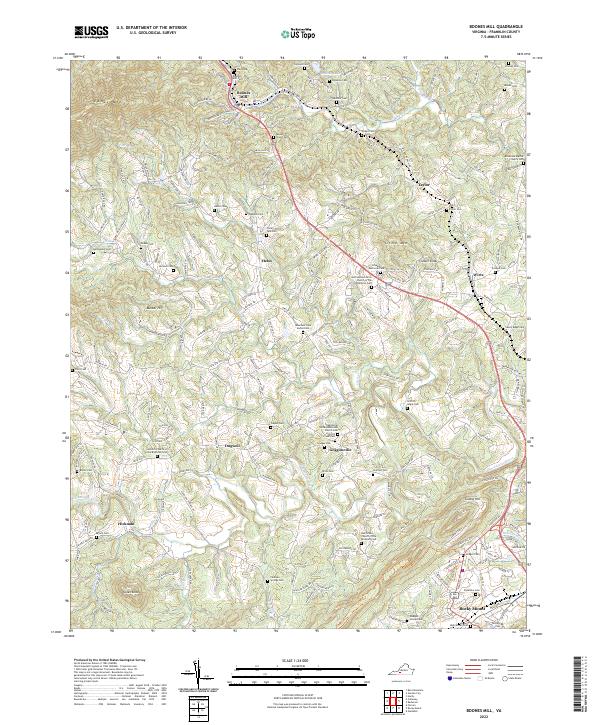
2022 Map of Boones Mill
USGS Topo · Published 2022About this map
Boones Mill anchors the northern portion of this Franklin County landscape, where the waters of Maggodee Cr flow through a valley defined by the steep slopes of Cahas Mtn. The map reveals a dense network of family history markers, particularly through an extensive collection of small burial grounds such as the Pate Cem, Abshire Cem, and Donahoo Cem. These sites, often situated near modern routes like State Rte 735, provide a clear view of the ancestral settlement patterns of the region.
Find a feature on this map
63 named features on this map. Tap any name to fly to it.
Don’t see what you’re looking for? This feature index may not catch every label — zoom into the map to look around manually.
Map Details
Editions of this 2022 Boones Mill Map
This is the sole edition of this map. No revisions or reprints were ever made.
Other maps of this area

1890 · Roanoke
USGS Topo · 1:125,000

1890 · Christiansburg
USGS Topo · 1:125,000

1891 · Roanoke
USGS Topo · 1:125,000

1925 · Rocky Mount
USGS Topo · 1:48,000

1927 · Rocky Mount
USGS Topo · 1:62,500

1944 · Rocky Mount
USGS Topo · 1:62,500

1947 · Roanoke
USGS Topo · 1:250,000

1950 · Elliston
USGS Topo · 1:62,500

1951 · Boones Mill
USGS Topo · 1:62,500

1953 · Winston-Salem
USGS Topo · 1:250,000