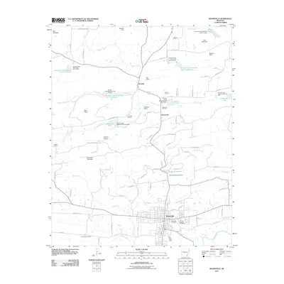
2011 Map of Booneville
USGS Topo · Published 2011About this map
Booneville anchors the southern portion of this region, serving as a hub near the Petit Jean River where the Booneville Post Office and Oak Hill Cemetery are located. The landscape is defined by a series of water management projects, including the Booneville Reservoir and numerous flood control structures along Sixmile Creek, such as the Sixmile Creek Watershed Site Five Reservoir. These reservoirs and dams indicate a late-century focus on water conservation and land reclamation across the valley floors.
Find a feature on this map
97 named features on this map. Tap any name to fly to it.
Don’t see what you’re looking for? This feature index may not catch every label — zoom into the map to look around manually.
Map Details
Editions of this 2011 Booneville Map
This is the sole edition of this map. No revisions or reprints were ever made.
Other maps of this area

1887 · Magazine Mountain #2
USGS Topo · 1:62,500

1887 · Magazine Mountain #3
USGS Topo · 1:62,500

1887 · Magazine Mountain
USGS Topo · 1:62,500

1890 · Magazine Mountain
USGS Topo · 1:125,000

1890 · Fort Smith
USGS Topo · 1:125,000

1906 · Lavaca
USGS Topo · 1:62,500

1906 · Barber
USGS Topo · 1:62,500

1934 · Booneville
USGS Topo · 1:48,000

1939 · Booneville
USGS Topo · 1:62,500

1943 · Fort Smith
USGS Topo · 1:125,000