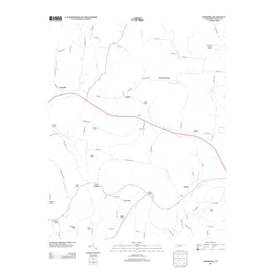
2013 Map of Boonshill
USGS Topo · Published 2013About this map
The Elk River carves a deep path through southern Lincoln County, creating dramatic landforms like Whitaker Bluff and river meanders at Pitts Bend and Hovis Bend. This 2013 landscape is defined by its small crossroads settlements and agricultural holdings, including Deer Valley Farm and the community of Pearl City. The terrain is deeply incised by numerous named hollows, such as Bugtussle Hollow and Sorghum Hollow, which drain into the river system. Transportation through the area centers on several key connectors, with the village of Boonshill serving as a focal point in the northwest. Local genealogists will find value in the specific road names like Delina Boonshill Rd and Williams Rd, which often reflect the family names tied to these specific tracts of Tennessee highland. Small historic hubs like East Cyruston, Harms, and Hughey remain identifiable markers of the region's rural character and social geography.
Find a feature on this map
87 named features on this map. Tap any name to fly to it.
Don’t see what you’re looking for? This feature index may not catch every label — zoom into the map to look around manually.
Map Details
Editions of this 2013 Boonshill Map
This is the sole edition of this map. No revisions or reprints were ever made.
Other maps of this area

1936 · Cornersville
USGS Topo · 1:24,000

1936 · Taft
USGS Topo · 1:24,000

1936 · Belleville
USGS Topo · 1:24,000

1936 · Boonshill
USGS Topo · 1:24,000

1936 · Petersburg
USGS Topo · 1:24,000

1936 · Lincoln
USGS Topo · 1:24,000

1936 · Frankewing
USGS Topo · 1:24,000

1936 · Fayetteville
USGS Topo · 1:24,000

1936 · Dellrose
USGS Topo · 1:24,000

1944 · Shelbyville
USGS Topo · 1:100,000