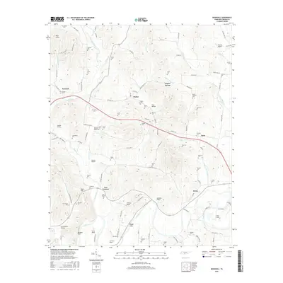
2016 Map of Boonshill
USGS Topo · Published 2016About this map
Boonshill and Pearl City anchor this rural landscape in Lincoln County, where the Elk River winds through the southern terrain. The area is defined by a dense concentration of family and community burial grounds, such as Caldwell Cem, Wilson Cem, and Stephens Cem, which offer significant value for genealogical research. Settlement patterns follow the natural contours of the land, with small clusters like East Cyruston and Egam situated near water sources and along local thoroughfares like Delina Boonshill Rd.
Find a feature on this map
119 named features on this map. Tap any name to fly to it.
Don’t see what you’re looking for? This feature index may not catch every label — zoom into the map to look around manually.
Map Details
Editions of this 2016 Boonshill Map
This is the sole edition of this map. No revisions or reprints were ever made.
Other maps of this area

1936 · Cornersville
USGS Topo · 1:24,000

1936 · Taft
USGS Topo · 1:24,000

1936 · Belleville
USGS Topo · 1:24,000

1936 · Boonshill
USGS Topo · 1:24,000

1936 · Petersburg
USGS Topo · 1:24,000

1936 · Lincoln
USGS Topo · 1:24,000

1936 · Frankewing
USGS Topo · 1:24,000

1936 · Fayetteville
USGS Topo · 1:24,000

1936 · Dellrose
USGS Topo · 1:24,000

1944 · Shelbyville
USGS Topo · 1:100,000