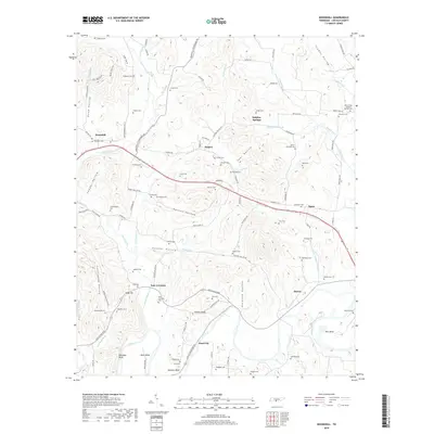
2019 Map of Boonshill
USGS Topo · Published 2019About this map
Swan Creek and its many tributaries, including Hayes Br and Morton Br, carve a complex landscape of hollows and ridges through Lincoln County. Small settlements such as Boonshill, Hughey, and East Cyruston serve as focal points for a network of country roads like Boonshill Petersburg Rd and Old Elton Pike. The map reveals a high density of family and community burial grounds, with over two dozen sites including Caldwell Cem, Whitaker Cem, and Martin-Chitwood Cem peppered across the terrain.
Find a feature on this map
113 named features on this map. Tap any name to fly to it.
Don’t see what you’re looking for? This feature index may not catch every label — zoom into the map to look around manually.
Map Details
Editions of this 2019 Boonshill Map
This is the sole edition of this map. No revisions or reprints were ever made.
Other maps of this area

1936 · Cornersville
USGS Topo · 1:24,000

1936 · Taft
USGS Topo · 1:24,000

1936 · Belleville
USGS Topo · 1:24,000

1936 · Boonshill
USGS Topo · 1:24,000

1936 · Petersburg
USGS Topo · 1:24,000

1936 · Lincoln
USGS Topo · 1:24,000

1936 · Frankewing
USGS Topo · 1:24,000

1936 · Fayetteville
USGS Topo · 1:24,000

1936 · Dellrose
USGS Topo · 1:24,000

1944 · Shelbyville
USGS Topo · 1:100,000