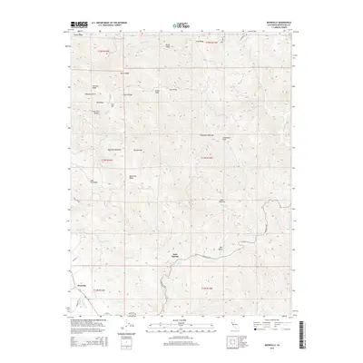
2015 Map of Boonville
USGS Topo · Published 2015About this map
Boonville serves as the primary hub in this corner of Mendocino County, where the valley floor meets an intricate system of ridges and gulches. The landscape is defined by several unique clearings or meadows known locally as openings, such as Shoemake Opening, Barkshed Opening, and Jakes Opening, which punctuate the timbered slopes. Water resources are plentiful throughout the drainages, from the significant flow of Anderson Cr and Soda Cr to smaller landmarks like Laurel Spring and Cow Spring. High points including Casabonne Peak and Cow Mtn overlook a complex network of ridges, including Black Oak Ridge and Sherman Ridge. For the local historian, the map details the rural road system connecting these remote points, featuring named routes like Boonville Rd and Peachland Rd that link the settlement at Soda Springs to the wider valley.
Find a feature on this map
50 named features on this map. Tap any name to fly to it.
Don’t see what you’re looking for? This feature index may not catch every label — zoom into the map to look around manually.
Map Details
Editions of this 2015 Boonville Map
This is the sole edition of this map. No revisions or reprints were ever made.
Other maps of this area

1920 · Ukiah
USGS Topo · 1:62,500

1938 · Hopland
USGS Topo · 1:62,500

1943 · Boonville
USGS Topo · 1:62,500

1943 · Hopland
USGS Topo · 1:62,500

1943 · Ornbaun
USGS Topo · 1:62,500

1944 · Ukiah
USGS Topo · 1:62,500

1944 · Ornbaun
USGS Topo · 1:62,500

1944 · Hopland
USGS Topo · 1:62,500

1947 · Santa Rosa
USGS Topo · 1:250,000

1949 · Santa Rosa
USGS Topo · 1:250,000