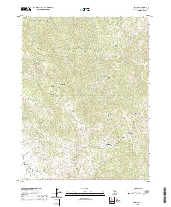
2021 Map of Boonville
USGS Topo · Published 2021About this map
Boonville serves as the primary settlement hub in this part of Mendocino County, where Anderson Cr and Donnelly Cr meet. The landscape is defined by a dense network of ridges, including Alaska Ridge, Rocky Ridge, and Black Oak Ridge, which separate various creek drainages. A distinctive cultural pattern is visible in the numerous named "openings" scattered across the high ground, such as Shoemake Opening, Barkshed Opening, and Big Opening, indicating specific clearings or historical landing sites within the timbered terrain.
Find a feature on this map
56 named features on this map. Tap any name to fly to it.
Don’t see what you’re looking for? This feature index may not catch every label — zoom into the map to look around manually.
Map Details
Editions of this 2021 Boonville Map
This is the sole edition of this map. No revisions or reprints were ever made.
Other maps of this area

1920 · Ukiah
USGS Topo · 1:62,500

1938 · Hopland
USGS Topo · 1:62,500

1943 · Boonville
USGS Topo · 1:62,500

1943 · Hopland
USGS Topo · 1:62,500

1943 · Ornbaun
USGS Topo · 1:62,500

1944 · Ukiah
USGS Topo · 1:62,500

1944 · Ornbaun
USGS Topo · 1:62,500

1944 · Hopland
USGS Topo · 1:62,500

1947 · Santa Rosa
USGS Topo · 1:250,000

1949 · Santa Rosa
USGS Topo · 1:250,000