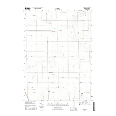
2014 Map of Borculo
USGS Topo · Published 2014About this map
Pigeon River meanders across this rural section of Ottawa County, defining a landscape of agriculture and small community clusters. Small crossroad settlements like Olive Center and Crisp anchor the local farming economy, while larger hubs such as Allendale and Borculo show the steady development of the region. The map captures a detailed network of township roads and drainage systems, including the Walters Drain and Blendon and Olive Drain, which were essential for managing the fertile Michigan soil. For family historians, several key burial sites are clearly marked, including Borculo Cem, Olive Cem, and Rusk Cem. The presence of the Dewind Field Airport and various gravel pits indicates the mix of local infrastructure and private enterprise that characterizes this portion of Western Michigan during the early 21st century.
Find a feature on this map
62 named features on this map. Tap any name to fly to it.
Don’t see what you’re looking for? This feature index may not catch every label — zoom into the map to look around manually.
Map Details
Editions of this 2014 Borculo Map
This is the sole edition of this map. No revisions or reprints were ever made.
Other maps of this area

1929 · Holland
USGS Topo · 1:62,500

1930 · Muskegon
USGS Topo · 1:62,500

1932 · Holland
USGS Topo · 1:62,500

1936 · Muskegon
USGS Topo · 1:62,500

1945 · Ravenna
USGS Topo · 1:62,500

1954 · Milwaukee
USGS Topo · 1:250,000

1954 · Midland
USGS Topo · 1:250,000

1958 · Midland
USGS Topo · 1:250,000

1958 · Milwaukee
USGS Topo · 1:250,000

1958 · Allendale
USGS Topo · 1:24,000