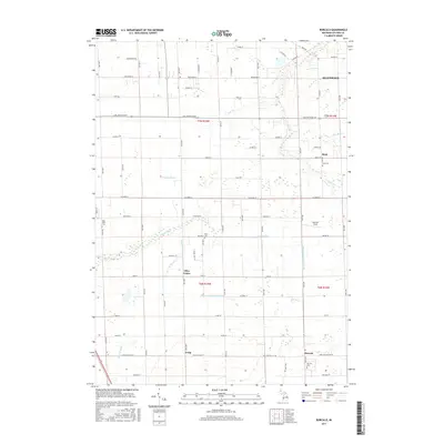
2017 Map of Borculo
USGS Topo · Published 2017About this map
Pigeon River and its various tributaries, including the Blendon and Olive Drain, define the drainage patterns across this portion of Ottawa County. The landscape is dotted with small, long-standing communities such as Borculo, Olive Center, Rusk, and Crisp, reflecting the agricultural and residential development of western Michigan. Several local burial sites, including the Borculo Cem, Rusk Cem, and West Olive Cem, serve as important touchstones for genealogical research in the area.
Find a feature on this map
63 named features on this map. Tap any name to fly to it.
Don’t see what you’re looking for? This feature index may not catch every label — zoom into the map to look around manually.
Map Details
Editions of this 2017 Borculo Map
This is the sole edition of this map. No revisions or reprints were ever made.
Other maps of this area

1929 · Holland
USGS Topo · 1:62,500

1930 · Muskegon
USGS Topo · 1:62,500

1932 · Holland
USGS Topo · 1:62,500

1936 · Muskegon
USGS Topo · 1:62,500

1945 · Ravenna
USGS Topo · 1:62,500

1954 · Milwaukee
USGS Topo · 1:250,000

1954 · Midland
USGS Topo · 1:250,000

1958 · Midland
USGS Topo · 1:250,000

1958 · Milwaukee
USGS Topo · 1:250,000

1958 · Allendale
USGS Topo · 1:24,000