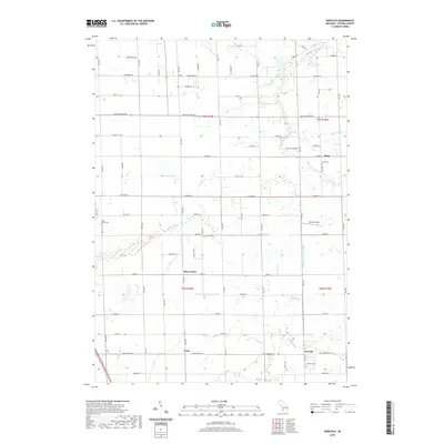
2019 Map of Borculo
USGS Topo · Published 2019About this map
Olive Center and Borculo anchor this agricultural and residential landscape in Ottawa County, where a complex network of drains and natural waterways defines the land's utility. The Pigeon River and Bass River meander through the townships, supported by an extensive system of man-made channels like the Blendon and Olive Drain and Valters Drain, which speak to the area's long history of land management for farming.
Find a feature on this map
65 named features on this map. Tap any name to fly to it.
Don’t see what you’re looking for? This feature index may not catch every label — zoom into the map to look around manually.
Map Details
Editions of this 2019 Borculo Map
This is the sole edition of this map. No revisions or reprints were ever made.
Other maps of this area

1929 · Holland
USGS Topo · 1:62,500

1930 · Muskegon
USGS Topo · 1:62,500

1932 · Holland
USGS Topo · 1:62,500

1936 · Muskegon
USGS Topo · 1:62,500

1945 · Ravenna
USGS Topo · 1:62,500

1954 · Milwaukee
USGS Topo · 1:250,000

1954 · Midland
USGS Topo · 1:250,000

1958 · Midland
USGS Topo · 1:250,000

1958 · Milwaukee
USGS Topo · 1:250,000

1958 · Allendale
USGS Topo · 1:24,000