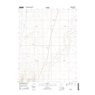
2014 Map of Borden
USGS Topo · Published 2014About this map
The Beaver River meanders through this section of Millard County, creating a distinctive riparian path across an otherwise arid landscape. Settlement is sparse, focused on the small locales of Borden and Bloom situated along the primary transportation route. The management of water in this desert environment is evident through features like the Borden Basin Reservoir and Halls Double Reservoir, which serve as vital landmarks for local land use. Infrastructure in the early 21st century is further defined by the industrial presence of the Energy Corridor Rd, while more traditional access is provided by Candland Springs Rd. The map illustrates a high-desert terrain where modern energy needs and historical water management intersect.
Find a feature on this map
11 named features on this map. Tap any name to fly to it.
Don’t see what you’re looking for? This feature index may not catch every label — zoom into the map to look around manually.
Map Details
Editions of this 2014 Borden Map
This is the sole edition of this map. No revisions or reprints were ever made.
Other maps of this area

1885 · Beaver
USGS Topo · 1:250,000

1885 · Sevier Desert
USGS Topo · 1:250,000

1953 · Richfield
USGS Topo · 1:250,000

1953 · Delta
USGS Topo · 1:250,000

1958 · Richfield
USGS Topo · 1:250,000

1958 · Delta
USGS Topo · 1:250,000

1962 · Delta
USGS Topo · 1:250,000

1962 · Tabernacle Hill
USGS Topo · 1:62,500

1971 · Red Pass
USGS Topo · 1:24,000

1971 · Neels
USGS Topo · 1:24,000