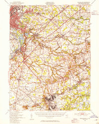
1948 Map of Bordentown
USGS Topo · Published 1954About this map
The Delaware River corridor and its industrial-military landscape define this late 1940s survey of central New Jersey. Large military installations including Fort Dix and Mc Guire Air Force Base occupy significant acreage in the south, while the northern extent reaches the urban fringe of Trenton. The map documents a critical moment of infrastructure expansion, showing the New Jersey Turnpike as a primary artery through the agricultural heartland of Chesterfield and Mansfield townships.
Find a feature on this map
124 named features on this map. Tap any name to fly to it.
Don’t see what you’re looking for? This feature index may not catch every label — zoom into the map to look around manually.
Map Details
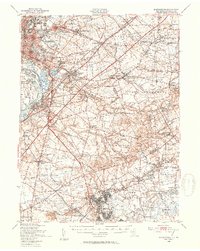
Editions of this 1948 Bordentown Map
2 editions found
Other maps of this area

1884 · Whitings
USGS Topo · 1:62,500

1888 · Bordentown
USGS Topo · 1:62,500

1888 · Pemberton
USGS Topo · 1:62,500

1888 · New Brunswick
USGS Topo · 1:62,500

1888 · Mount Holly
USGS Topo · 1:62,500

1888 · Princeton
USGS Topo · 1:62,500

1888 · Cassville
USGS Topo · 1:62,500

1888 · Whitings
USGS Topo · 1:62,500

1890 · Lambertville
USGS Topo · 1:62,500

1890 · Burlington
USGS Topo · 1:62,500