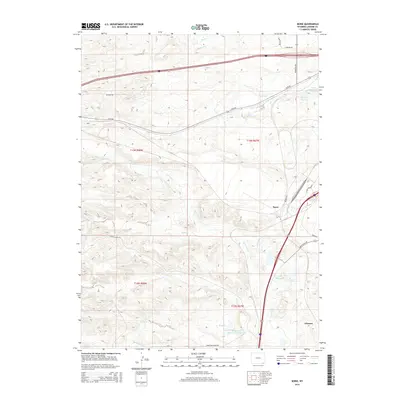
2015 Map of Borie
USGS Topo · Published 2015About this map
Borie and Speer sit along a busy rail and highway corridor in southern Laramie County, where the high plains of Wyoming meet the Colorado border. The landscape is defined by an intricate network of drainage creeks and managed water resources, reflecting the area's ranching and transit history. Strategic water management is evident in features like Polaris Ditch and several named catchments, including 7XL Reservoir and Spotswood Reservoir Number 2.
Find a feature on this map
34 named features on this map. Tap any name to fly to it.
Don’t see what you’re looking for? This feature index may not catch every label — zoom into the map to look around manually.
Map Details
Editions of this 2015 Borie Map
This is the sole edition of this map. No revisions or reprints were ever made.
Other maps of this area

1905 · Sherman
USGS Topo · 1:125,000

1907 · Livermore
USGS Topo · 1:125,000

1908 · Eaton
USGS Topo · 1:125,000

1909 · Livermore
USGS Topo · 1:125,000

1910 · Eaton
USGS Topo · 1:125,000

1911 · Cheyenne
USGS Topo · 1:125,000

1914 · Cheyenne
USGS Topo · 1:125,000

1950 · Cheyenne
USGS Topo · 1:62,500

1954 · Cheyenne
USGS Topo · 1:250,000

1954 · Greeley
USGS Topo · 1:250,000