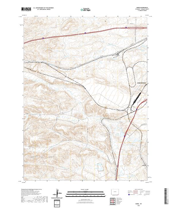
2021 Map of Borie
USGS Topo · Published 2021About this map
Water management and transit define this landscape southwest of Cheyenne, where a network of reservoirs and intermittent creeks crisscross the high plains. The settlement of Borie sits along Otto Rd, while the southern reaches of the map near Gleason and Speer are characterized by irrigation infrastructure including the Polaris Ditch and numerous catchments like 7XL Reservoir, Valley Reservoir, and Spotswood Reservoir Number 2. These features underscore the importance of water storage in an environment where natural flows like Goose Creek and Lone Tree Creek often run dry.
Find a feature on this map
42 named features on this map. Tap any name to fly to it.
Don’t see what you’re looking for? This feature index may not catch every label — zoom into the map to look around manually.
Map Details
Editions of this 2021 Borie Map
This is the sole edition of this map. No revisions or reprints were ever made.
Other maps of this area

1905 · Sherman
USGS Topo · 1:125,000

1907 · Livermore
USGS Topo · 1:125,000

1908 · Eaton
USGS Topo · 1:125,000

1909 · Livermore
USGS Topo · 1:125,000

1910 · Eaton
USGS Topo · 1:125,000

1911 · Cheyenne
USGS Topo · 1:125,000

1914 · Cheyenne
USGS Topo · 1:125,000

1950 · Cheyenne
USGS Topo · 1:62,500

1954 · Cheyenne
USGS Topo · 1:250,000

1954 · Greeley
USGS Topo · 1:250,000