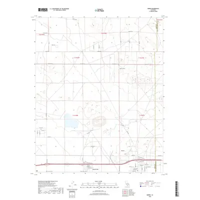
2018 Map of Boron
USGS Topo · Published 2018About this map
Boron stands as a central settlement in this corner of the Mojave Desert along the Kern County and San Bernardino County line. The map highlights a landscape defined by industrial and residential clusters, notably around Desert Lake and the smaller outpost of Silt. The network of roads, including Borax Rd and Suckow Rd, points to the region's significant history with mineral extraction and the infrastructure required to support these desert communities. Surveyed in 2018, the map illustrates the precise grid of residential streets such as Cherryhill Dr and Glendower Ave that contrast with the wide-open township and range blocks typical of the high desert. Researchers can trace the development of local neighborhoods and their proximity to the transportation corridors that link these isolated settlements.
Find a feature on this map
54 named features on this map. Tap any name to fly to it.
Don’t see what you’re looking for? This feature index may not catch every label — zoom into the map to look around manually.
Map Details
Editions of this 2018 Boron Map
This is the sole edition of this map. No revisions or reprints were ever made.
Other maps of this area

1915 · Searles Lake
USGS Topo · 1:250,000

1937 · Kramer
USGS Topo · 1:48,000

1937 · Rogers Lake
USGS Topo · 1:48,000

1942 · Kramer
USGS Topo · 1:62,500

1942 · Rogers Lake
USGS Topo · 1:62,500

1943 · Castle Butte
USGS Topo · 1:62,500

1947 · Castle Butte
USGS Topo · 1:50,000

1947 · Kramer
USGS Topo · 1:24,000

1947 · Johannesburg SE
USGS Topo · 1:25,000

1947 · Rich
USGS Topo · 1:24,000