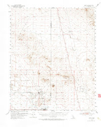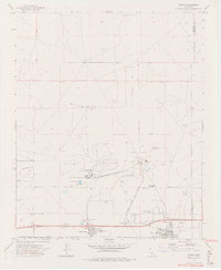
2021 Map of Boron
USGS Topo · Published 2021About this map
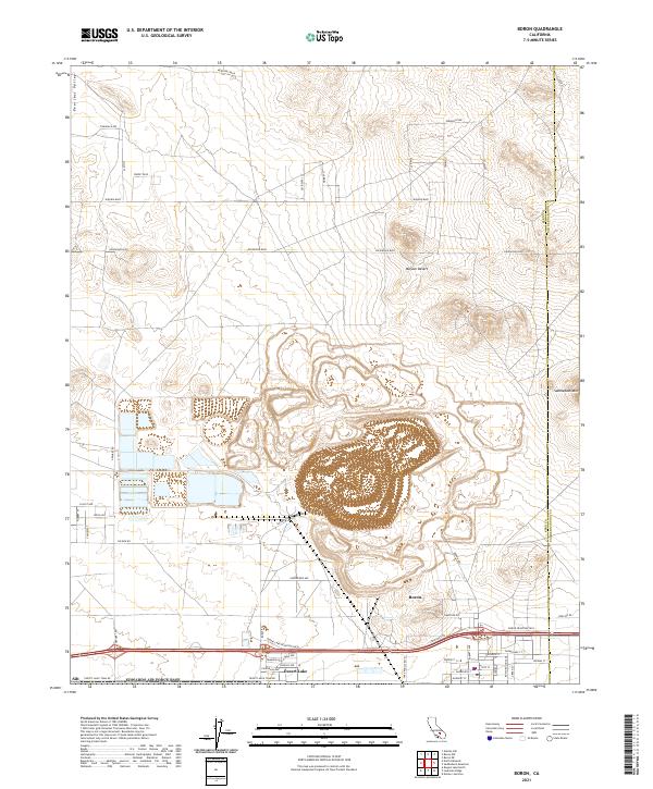
The massive open-pit mining operations in the Mojave Desert dominate this landscape, revealing a labyrinth of excavated terraces and industrial haul roads north of Boron. This industrial footprint is the defining characteristic of the terrain, shaped by decades of mineral extraction. Adjacent to the mining complex, the residential grids of Desert Lake and Boron provide a contrast of human settlement against the high-desert background. The infrastructure is heavily influenced by the local economy, notably evidenced by the historic Twenty Mule Team Rd and a network of arterial roads like Suckow Rd. To the northwest, the relatively flat Peerless Valley extends toward the horizon, while Saddleback Mtn rises to the east at the Kern Co San Bernardino Co line. This map captures the intersection of heavy industry and Mojave settlement, where the town’s layout and the desert's geography are inextricably linked to the resources beneath the surface.
Find a feature on this map
40 named features on this map. Tap any name to fly to it.
Don’t see what you’re looking for? This feature index may not catch every label — zoom into the map to look around manually.
Map Details
Editions of this 2021 Boron Map
This is the sole edition of this map. No revisions or reprints were ever made.