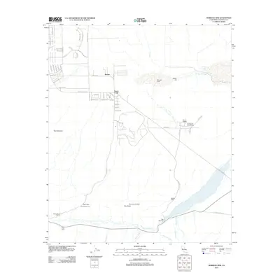
2012 Map of Borrego Sink
USGS Topo · Published 2012About this map
Borrego Sink and the ephemeral drainage of Coyote Cr dominate this arid landscape in eastern San Diego County. This 2012 survey reveals the sparse desert development of the mid-20th century, including the Borrego Air Ranch Airport and the small enclave of Sleepy Hollow. The map illustrates the convergence of numerous desert washes, such as Nude Wash, Sunset Wash, and Quartz Vein Wash, which feed into the larger San Felipe Cr near the geological bottleneck known as The Narrows. For local historians and recreationists, the map details established desert destinations like Desert Lodge and the Mescal Bajada Overlook, alongside the winding roads of Borrego that follow the natural contours of the Yaqui Ridge and the Yaqui Meadows.
Find a feature on this map
59 named features on this map. Tap any name to fly to it.
Don’t see what you’re looking for? This feature index may not catch every label — zoom into the map to look around manually.
Map Details
Editions of this 2012 Borrego Sink Map
This is the sole edition of this map. No revisions or reprints were ever made.
Other maps of this area

1904 · Indio
USGS Topo · 1:125,000

1931 · Vallecito
USGS Topo · 1:125,000

1939 · Borrego
USGS Topo · 1:62,500

1941 · Clark Lake
USGS Topo · 1:62,500

1942 · Barrel Spring
USGS Topo · 1:62,500

1942 · Agua Dulce
USGS Topo · 1:62,500

1942 · Clark Lake
USGS Topo · 1:62,500

1942 · Borego
USGS Topo · 1:62,500

1943 · Vallecito
USGS Topo · 1:125,000

1944 · Agua Dulce
USGS Topo · 1:62,500