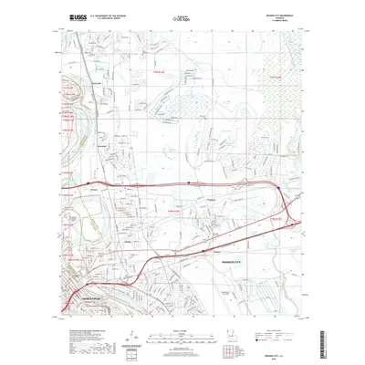
2020 Map of Bossier City
USGS Topo · Published 2020About this map
Bossier City and Shreveport dominate the southern portion of this landscape, where the Red River defines the border between Caddo Parish and Bossier Parish. The urbanization of the river's eastern bank is punctuated by the expansive footprint of Barksdale Air Force Base, while the northwestern corner maintains a more open character around the Shreveport Downtown Airport. To the north, the terrain is shaped by an intricate network of water bodies, including the serpentine Willow Chute, Swan Lake, and Horseshoe Lake, illustrating the complex floodplains of the Red River valley.
Find a feature on this map
242 named features on this map. Tap any name to fly to it.
Don’t see what you’re looking for? This feature index may not catch every label — zoom into the map to look around manually.
Map Details
Editions of this 2020 Bossier City Map
This is the sole edition of this map. No revisions or reprints were ever made.
Other maps of this area
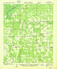
1932 · Bossier SE
USGS Topo · 1:31,680
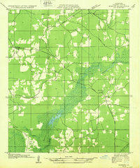
1932 · Bossier NE
USGS Topo · 1:31,680
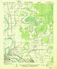
1932 · Bossier SW
USGS Topo · 1:31,680
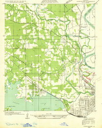
1932 · Shreveport SE
USGS Topo · 1:31,680
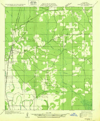
1932 · Bossier NW
USGS Topo · 1:31,680
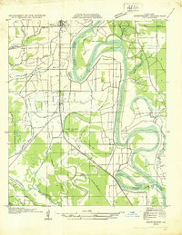
1932 · Shreveport NE
USGS Topo · 1:31,680
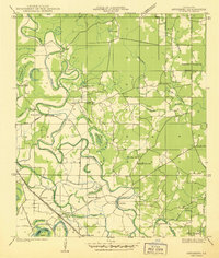
1938 · Arnsberg
USGS Topo · 1:31,680
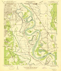
1941 · Forbing
USGS Topo · 1:31,680
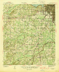
1945 · Greenwood
USGS Topo · 1:62,500
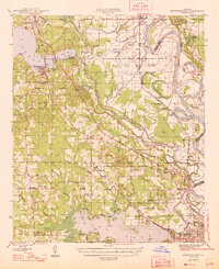
1948 · Mooringsport
USGS Topo · 1:62,500
Featured Places
- Shreveport, LA
- Bossier City, LA
- Honore, LA
- Airline Park Estates, Bossier City
- Southern Terrace, Bossier City