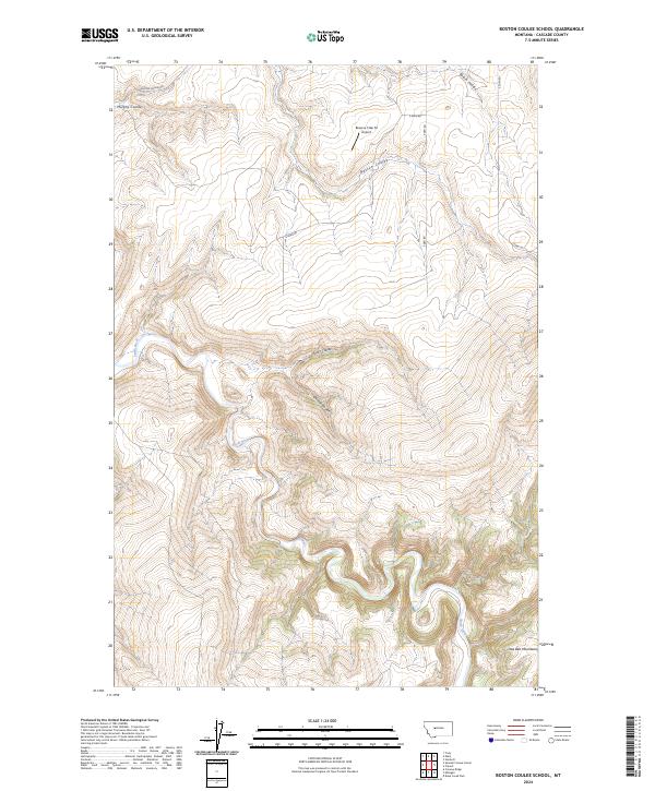
2024 Map of Boston Coulee School
USGS Topo · Published 2024About this map
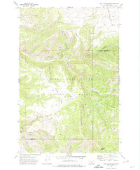
The Smith River carves a deep path through this portion of Cascade County, defining a landscape dominated by the dramatic elevation changes of the Little Belt Mountains. The terrain is deeply dissected by numerous drainage features, including Boston Coulee, Rocky Coulee, and Chicken Coulee, which illustrate the erosion patterns characteristic of this Montana high country. Evidence of local ranching and aviation history appears at the Reverse 5 Bar M Airport, situated on a high plateau between the coulees.
Find a feature on this map
16 named features on this map. Tap any name to fly to it.
Don’t see what you’re looking for? This feature index may not catch every label — zoom into the map to look around manually.
Map Details
Editions of this 2024 Boston Coulee School Map
This is the sole edition of this map. No revisions or reprints were ever made.
Other maps of this area

1886 · Great Falls
USGS Topo · 1:250,000

1954 · Great Falls
USGS Topo · 1:250,000

1955 · Stockett
USGS Topo · 1:62,500

1955 · Gore Hill
USGS Topo · 1:62,500

1957 · Great Falls
USGS Topo · 1:250,000

1965 · Eden
USGS Topo · 1:24,000
1965 · Stockett
USGS Topo · 1:24,000
1965 · Truly
USGS Topo · 1:24,000
1971 · Boston Coulee School
USGS Topo · 1:24,000
1971 · Deep Creek Park
USGS Topo · 1:24,000