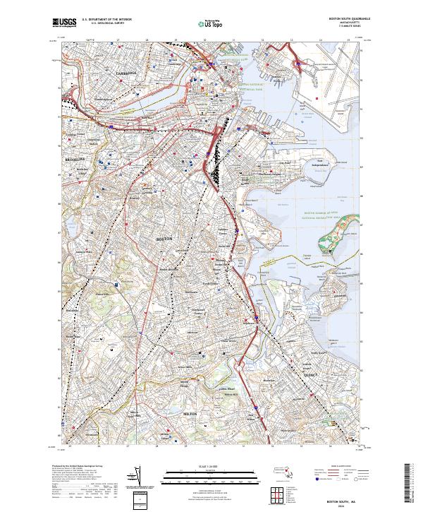
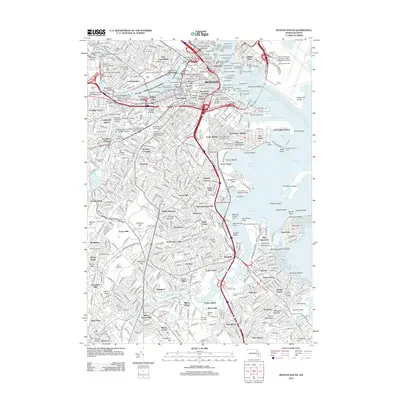
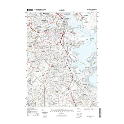
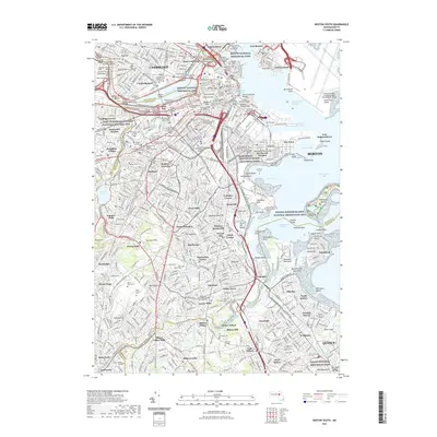
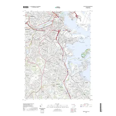
2024 Map of Boston South
USGS Topo · Published 2024About this map
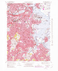
The dense urban grid of Boston and Cambridge is captured here, showcasing a landscape defined by centuries of history and massive 20th-century infrastructure projects. From the colonial-era Copps Hill Burial Ground and Granary Burying Ground near the Beacon Hill neighborhood to the modern expanse of Logan International Airport, the map traces the evolution of Massachusetts' capital. The shoreline along the Charles River and Fort Point Channel reveals the extensive landmaking that created districts like Back Bay and the industrial waterfront at City Point.
Find a feature on this map
143 named features on this map. Tap any name to fly to it.
Don’t see what you’re looking for? This feature index may not catch every label — zoom into the map to look around manually.
Map Details
Editions of this 2024 Boston South Map
This is the sole edition of this map. No revisions or reprints were ever made.
Historical Maps of Boston Through Time
25 maps found

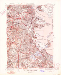
1944 Boston South
Suffolk County, MA

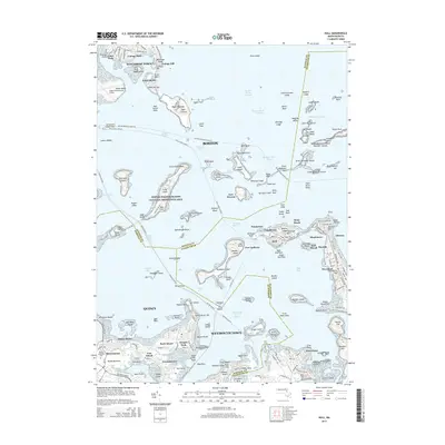
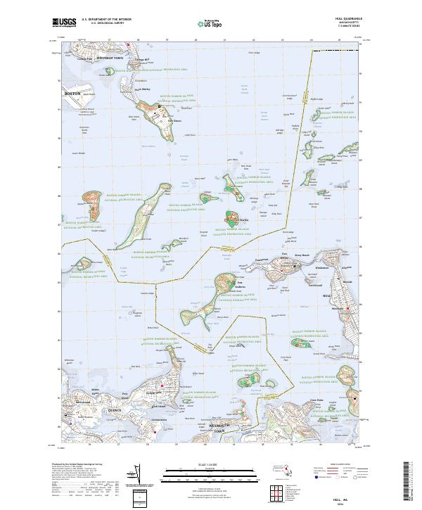
1944 Hull
Suffolk County, MA
1946 Boston South
Suffolk County, MA
1946 Hull
Suffolk County, MA

1948 Hull
Suffolk County, MA

1949 Hull
Suffolk County, MA

1954 Boston South
Suffolk County, MA
1956 Boston South
Suffolk County, MA

1958 Hull
Suffolk County, MA
1970 Boston South
Suffolk County, MA

1971 Hull
Suffolk County, MA

1977 Boston South
Suffolk County, MA

1977 Hull
Suffolk County, MA
1987 Boston South
Suffolk County, MA
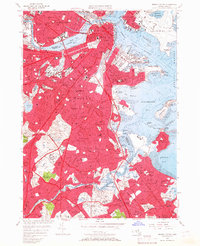
2012 Boston South
Suffolk County, MA
2012 Hull
Suffolk County, MA
2015 Boston South
Suffolk County, MA
2015 Hull
Suffolk County, MA
2018 Boston South
Suffolk County, MA
2018 Hull
Suffolk County, MA
2021 Boston South
Suffolk County, MA
2021 Hull
Suffolk County, MA
2023 Boston South
Suffolk County, MA
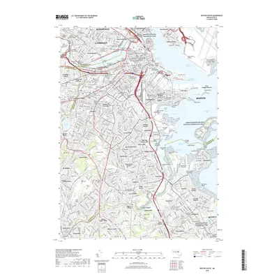
2024 Boston South
Suffolk County, MA
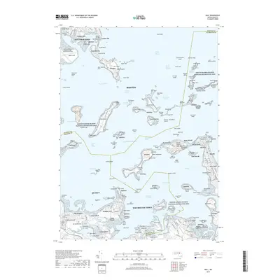
2024 Hull
Suffolk County, MA