
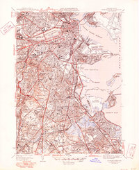
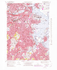
1954 Map of Boston South
USGS Topo · Published 1954About this map
Boston Inner Harbor and the Charles River Basin serve as the focal points for this mid-century portrait of a dense urban and industrial landscape. The survey details the massive infrastructure of the era, from the Logan International Airport expansion to the complex rail yards of the New York New Haven & Hartford RR. Institutional hubs like Harvard University and the Mass Institute of Technology anchor the northern reaches, while the southern neighborhoods transition into the residential and academic clusters of Jamaica Plain and Milton Academy.
Find a feature on this map
136 named features on this map. Tap any name to fly to it.
Don’t see what you’re looking for? This feature index may not catch every label — zoom into the map to look around manually.
Map Details
Editions of this 1954 Boston South Map
This is the sole edition of this map. No revisions or reprints were ever made.
Historical Maps of Jamaica Plain Through Time
16 maps found

1944 Boston South
Suffolk County, MA

1944 Hull
Suffolk County, MA
1946 Boston South
Suffolk County, MA
1946 Hull
Suffolk County, MA

1948 Hull
Suffolk County, MA

1949 Hull
Suffolk County, MA
1954 Boston South
Suffolk County, MA
1956 Boston South
Suffolk County, MA
1958 Hull
Suffolk County, MA
1970 Boston South
Suffolk County, MA
1971 Hull
Suffolk County, MA

1977 Boston South
Suffolk County, MA

1977 Hull
Suffolk County, MA
1987 Boston South
Suffolk County, MA
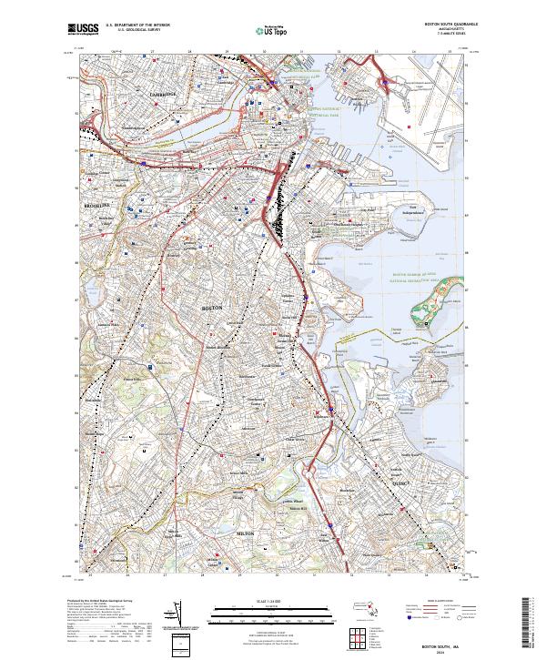
2024 Boston South
Suffolk County, MA
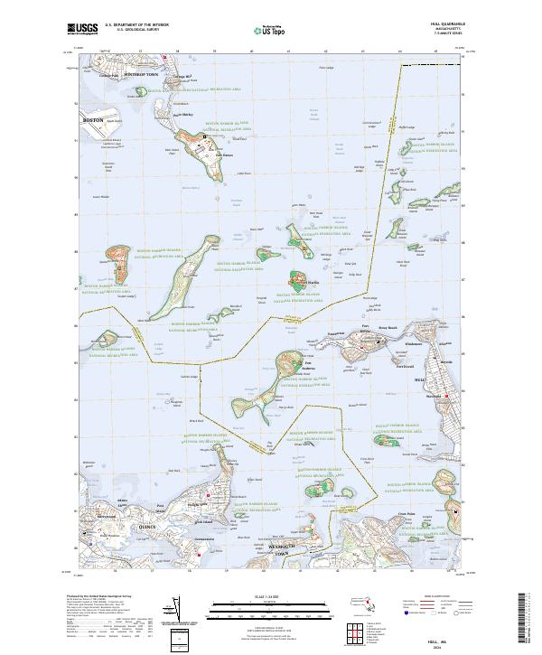
2024 Hull
Suffolk County, MA