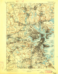
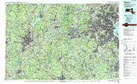
1961 Map of Boston
USGS Topo · Published 1961About this map
Boston and its sprawling urban orbit are captured in the mid-1950s, showing the dense network of industrial centers and seaside communities that defined Eastern Massachusetts. The State Capitol stands as the central hub for a region connected by the Boston and Maine and the New York New Haven and Hartford railroads. Beyond the metropolitan core, the landscape transitions into the prominent heights of Crotched Mountain and Wachusett Mountain, while the coastline is marked by the wild reaches of the Parker River National Wildlife Refuge and the maritime heritage of Gloucester Harbor. This era reflects a period of significant regional integration, with major routes like 128 and 1 beginning to reshape the suburban landscape. To the west, the Wachusett Reservoir remains a vital landmark of civil engineering, set against a backdrop of managed woodlands like the Leominster State Forest and Fort Devens.
Find a feature on this map
146 named features on this map. Tap any name to fly to it.
Don’t see what you’re looking for? This feature index may not catch every label — zoom into the map to look around manually.
Map Details
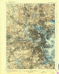
Editions of this 1961 Boston Map
2 editions found
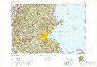
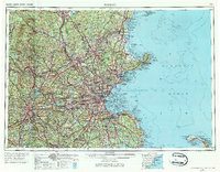
Historical Maps of Jamaica Plain Through Time
9 maps found