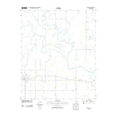
2009 Map of Boswell
USGS Topo · Published 2009About this map
The settlement of Boswell anchors the southwestern portion of this landscape, situated just south of Restland Cemetery along the path of Old Hwy 70. The terrain is defined by an intricate network of waterways, most notably the winding paths of Muddy Boggy Creek and Clear Boggy Creek, which converge and snake across the central and eastern sections. This drainage system, including tributaries like Mayhew Creek and Tanyard Creek, heavily influenced the placement of local roads and property boundaries. Genealogists and local historians will find several rural burial grounds identified across the map, including Pierce Cemetery, Holder Cemetery, and Wade Cemetery, reflecting the scattered settlement patterns typical of this part of Choctaw County. The map details the transition from older routes like Old Hwy 70 to the modern highway system that bypasses the town center.
Find a feature on this map
34 named features on this map. Tap any name to fly to it.
Don’t see what you’re looking for? This feature index may not catch every label — zoom into the map to look around manually.
Map Details
Editions of this 2009 Boswell Map
This is the sole edition of this map. No revisions or reprints were ever made.
Other maps of this area

1901 · Antlers
USGS Topo · 1:125,000

1903 · Paris
USGS Topo · 1:125,000

1912 · Antlers
USGS Topo · 1:125,000

1925 · Antlers
USGS Topo · 1:125,000

1948 · Grant
USGS Topo · 1:62,500

1948 · Direct
USGS Topo · 1:62,500

1949 · Direct
USGS Topo · 1:62,500

1949 · Grant
USGS Topo · 1:62,500

1950 · Mcalester
USGS Topo · 1:250,000

1953 · Texarkana
USGS Topo · 1:250,000