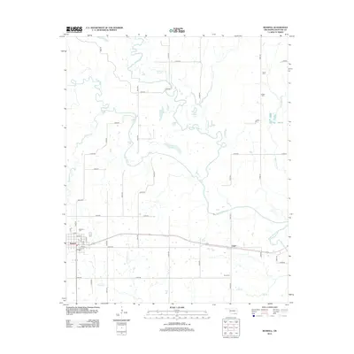
2012 Map of Boswell
USGS Topo · Published 2012About this map
The town of Boswell and the smaller settlement of Unger anchor this Choctaw County landscape, dominated by the winding paths of Muddy Boggy Cr and Clear Boggy Cr. This area of southern Oklahoma is defined by a dense network of water bodies and sloughs, including Edmond Slough, Hogpen Lake, and Grassy Lake, which likely influenced the historical placement of local roads and farmsteads. Genealogists will find several burial grounds mapped here, such as Restland Cem near the town center and more remote sites like Wade Cem, Holder Cem, and Pierce Cem. The map reveals a grid of rural section roads, including Ross RD and N 4040 RD, that provide access to the agricultural lands between the many creeks and small lakes that characterize this riverine environment.
Find a feature on this map
51 named features on this map. Tap any name to fly to it.
Don’t see what you’re looking for? This feature index may not catch every label — zoom into the map to look around manually.
Map Details
Editions of this 2012 Boswell Map
This is the sole edition of this map. No revisions or reprints were ever made.
Other maps of this area

1901 · Antlers
USGS Topo · 1:125,000

1903 · Paris
USGS Topo · 1:125,000

1912 · Antlers
USGS Topo · 1:125,000

1925 · Antlers
USGS Topo · 1:125,000

1948 · Grant
USGS Topo · 1:62,500

1948 · Direct
USGS Topo · 1:62,500

1949 · Direct
USGS Topo · 1:62,500

1949 · Grant
USGS Topo · 1:62,500

1950 · Mcalester
USGS Topo · 1:250,000

1953 · Texarkana
USGS Topo · 1:250,000