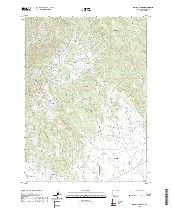
2023 Map of Boswell Mountain
USGS Topo · Published 2023About this map
Sams Valley and the surrounding Jackson County uplands are defined by a complex network of private reservoirs and small-scale aviation strips. The landscape is dominated by notable peaks such as Boswell Mtn and Cinnabar Mtn, while the drainage of Evans Creek and its many tributaries, including Mystery Creek and Peffley Creek, carve through the terrain. A legacy of local settlement is evident at Meadow Graves and The Meadows, while the southern reaches show a concentration of water management features like Schmidt Reservoirs, Bingham Reservoir, and Despain Reservoir. This modern topographic study reveals how contemporary land use, including the Beagle Sky Ranch Airport and Firefly Ranch Airfield, overlays the historic rural geography of the region. Local history is anchored by the Antioch Cem, situated near the junction of Antioch Rd and Dodge Rd.
Find a feature on this map
75 named features on this map. Tap any name to fly to it.
Don’t see what you’re looking for? This feature index may not catch every label — zoom into the map to look around manually.
Map Details
Editions of this 2023 Boswell Mountain Map
This is the sole edition of this map. No revisions or reprints were ever made.
Other maps of this area

1891 · Ashland
USGS Topo · 1:250,000

1893 · Ashland
USGS Topo · 1:250,000

1897 · Ashland
USGS Topo · 1:250,000

1904 · Riddle
USGS Topo · 1:125,000

1908 · Grants Pass
USGS Topo · 1:125,000

1938 · Medford
USGS Topo · 1:125,000

1943 · Trail
USGS Topo · 1:62,500

1954 · Medford
USGS Topo · 1:62,500

1954 · Gold Hill
USGS Topo · 1:62,500

1954 · Wimer
USGS Topo · 1:62,500