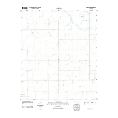
2009 Map of Boswell SW
USGS Topo · Published 2009About this map
Clear-Boggy Creek meanders through this portion of Choctaw County, shaping a landscape defined by an intricate network of tributaries and low-lying drainages. In the early 21st century, the rural character of this area remains preserved through a grid of section roads, including N 3980 Rd and E 2040 Rd, which connect isolated family landmarks and water management features like the Lake Newkirk Dam.
Find a feature on this map
30 named features on this map. Tap any name to fly to it.
Don’t see what you’re looking for? This feature index may not catch every label — zoom into the map to look around manually.
Map Details
Editions of this 2009 Boswell SW Map
This is the sole edition of this map. No revisions or reprints were ever made.
Other maps of this area

1899 · Atoka
USGS Topo · 1:125,000

1900 · Atoka
USGS Topo · 1:125,000

1901 · Antlers
USGS Topo · 1:125,000

1903 · Paris
USGS Topo · 1:125,000

1912 · Antlers
USGS Topo · 1:125,000

1925 · Antlers
USGS Topo · 1:125,000

1948 · Direct
USGS Topo · 1:62,500

1949 · Direct
USGS Topo · 1:62,500

1950 · Mcalester
USGS Topo · 1:250,000

1953 · Texarkana
USGS Topo · 1:250,000