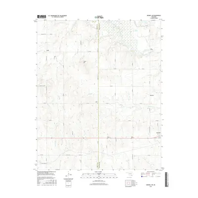
2016 Map of Boswell SW
USGS Topo · Published 2016About this map
The Oklahoma borderlands of Bryan Co and Choctaw Co are defined by the winding course of Clear Boggy Creek and its many tributaries, including Pecan Br and Ross Br. This landscape in the mid-2010s reveals a rural pattern of cattle ranching and farming, anchored by the small community of Cade in the northwest and the western edge of Boswell in the southeast. Historical roots are visible through scattered family and community burial grounds, such as Jones Cem, Hunter Cem, and Homer's Chapel Cem, which often represent the only remaining markers of early homesteads. Near the Twin Bridges crossing, Lake Newkirk sits among the wetlands of the creek basin. The terrain rises to notable elevations at Timber Hill, providing a contrast to the lower drainage areas of Mayhew Cr and Whitesand Cr that network through the county line region.
Find a feature on this map
60 named features on this map. Tap any name to fly to it.
Don’t see what you’re looking for? This feature index may not catch every label — zoom into the map to look around manually.
Map Details
Editions of this 2016 Boswell SW Map
This is the sole edition of this map. No revisions or reprints were ever made.
Other maps of this area

1899 · Atoka
USGS Topo · 1:125,000

1900 · Atoka
USGS Topo · 1:125,000

1901 · Antlers
USGS Topo · 1:125,000

1903 · Paris
USGS Topo · 1:125,000

1912 · Antlers
USGS Topo · 1:125,000

1925 · Antlers
USGS Topo · 1:125,000

1948 · Direct
USGS Topo · 1:62,500

1949 · Direct
USGS Topo · 1:62,500

1950 · Mcalester
USGS Topo · 1:250,000

1953 · Texarkana
USGS Topo · 1:250,000