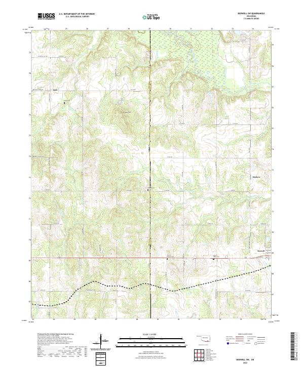
2022 Map of Boswell SW
USGS Topo · Published 2022About this map
The border of Bryan and Choctaw counties defines this Oklahoma landscape, where the town of Boswell sits near the intersection of Main Street and Chief Pushamataha Road. The geography is characterized by several small watercourses feeding into the larger Clear Boggy Creek, which meanders through the northern section of the sheet. Named features like Timber Hill provide localized relief in an area otherwise marked by its rural road network and scattered historical sites.
Find a feature on this map
63 named features on this map. Tap any name to fly to it.
Don’t see what you’re looking for? This feature index may not catch every label — zoom into the map to look around manually.
Map Details
Editions of this 2022 Boswell SW Map
This is the sole edition of this map. No revisions or reprints were ever made.
Other maps of this area

1899 · Atoka
USGS Topo · 1:125,000

1900 · Atoka
USGS Topo · 1:125,000

1901 · Antlers
USGS Topo · 1:125,000

1903 · Paris
USGS Topo · 1:125,000

1912 · Antlers
USGS Topo · 1:125,000

1925 · Antlers
USGS Topo · 1:125,000

1948 · Direct
USGS Topo · 1:62,500

1949 · Direct
USGS Topo · 1:62,500

1950 · Mcalester
USGS Topo · 1:250,000

1953 · Texarkana
USGS Topo · 1:250,000