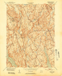
1951 Map of Botsford
USGS Topo · Published 1953About this map
Botsford and the surrounding Fairfield County townships are defined by a complex network of reservoirs and glacial ridges in the early 1950s. This survey, conducted just after the midpoint of the century, details a rural landscape transitioning toward suburban growth, yet still anchored by traditional centers like Hattertown, Stepney, and Easton. The New Haven and Hartford RR cuts through the northeast corner, serving the industrial and commuter needs of the era. The mapping of the Saugatuck Reservoir, Aspetuck Reservoir, and Easton Reservoir illustrates the critical role of the region in the regional water supply system. Local life is centered around landmarks such as St Patricks Ch, Hopewell School, and family-named terrain like Codfish Hill and Sunset Hill. Tracing the Black Rock Turnpike reveals the historical transit corridors that have shaped settlement patterns from Redding Ridge down to the reservoir basins.
Find a feature on this map
78 named features on this map. Tap any name to fly to it.
Don’t see what you’re looking for? This feature index may not catch every label — zoom into the map to look around manually.
Map Details
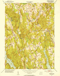
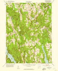
Editions of this 1951 Botsford Map
3 editions found
Other maps of this area

1889 · Derby
USGS Topo · 1:62,500

1891 · Bridgeport
USGS Topo · 1:62,500

1891 · Derby
USGS Topo · 1:62,500

1892 · Danbury
USGS Topo · 1:62,500

1892 · Norwalk
USGS Topo · 1:62,500

1893 · Bridgeport
USGS Topo · 1:62,500

1893 · Norwalk
USGS Topo · 1:62,500

1893 · Derby
USGS Topo · 1:62,500

1915 · Danbury
USGS Topo · 1:62,500

1920 · Bridgeport
USGS Topo · 1:62,500