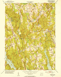
1951 Map of Botsford
USGS Topo · Published 1953About this map
Fairfield County’s rolling upland landscape is captured here just as post-war suburbanization began to touch these traditional rural townships. The map highlights the significant mid-century water infrastructure of the region, anchored by the sprawling Saugatuck Reservoir in the southwest and the Aspetuck Reservoir near Easton. These reservoirs, along with numerous family-named ponds like Myers Pond and Gussie Pond, define the local drainage patterns of the Aspetuck River and Pootatuck River.
Find a feature on this map
72 named features on this map. Tap any name to fly to it.
Don’t see what you’re looking for? This feature index may not catch every label — zoom into the map to look around manually.
Map Details
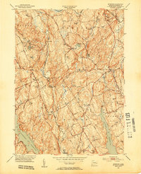
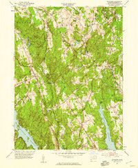
Editions of this 1951 Botsford Map
3 editions found
Other maps of this area

1889 · Derby
USGS Topo · 1:62,500

1891 · Bridgeport
USGS Topo · 1:62,500

1891 · Derby
USGS Topo · 1:62,500

1892 · Danbury
USGS Topo · 1:62,500

1892 · Norwalk
USGS Topo · 1:62,500

1893 · Bridgeport
USGS Topo · 1:62,500

1893 · Norwalk
USGS Topo · 1:62,500

1893 · Derby
USGS Topo · 1:62,500

1915 · Danbury
USGS Topo · 1:62,500

1920 · Bridgeport
USGS Topo · 1:62,500