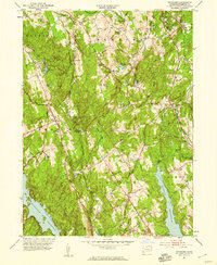
1951 Map of Botsford
USGS Topo · Published 1959About this map
Pleasant Valley and the surrounding ridges of Fairfield County define the landscape of this 1951 field-checked survey. The region is characterized by a network of small upland settlements and the significant development of water infrastructure to serve the growing Connecticut coast. Large bodies of water like the Saugatuck Reservoir, Easton Reservoir, and Aspetuck Reservoir dominate the southern half of the sheet, illustrating the mid-century transformation of local valleys into critical water resources. Inland, the map documents established rural communities such as Redding Ridge, Hattertown, and Upper Stepney. Local history is preserved through landmarks like St Patricks Ch, Morgan Cem, and the Airway Beacon near Easton. The terrain is marked by numerous named heights including Sunset Hill, Eden Hill, and Meekers Hill, while the Black Rock Turnpike and Merritt Pkwy indicate the evolving transportation corridors connecting these hills to the broader region.
Find a feature on this map
62 named features on this map. Tap any name to fly to it.
Don’t see what you’re looking for? This feature index may not catch every label — zoom into the map to look around manually.
Map Details
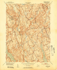
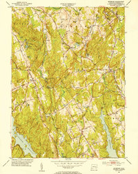
Editions of this 1951 Botsford Map
3 editions found
Other maps of this area

1889 · Derby
USGS Topo · 1:62,500

1891 · Bridgeport
USGS Topo · 1:62,500

1891 · Derby
USGS Topo · 1:62,500

1892 · Danbury
USGS Topo · 1:62,500

1892 · Norwalk
USGS Topo · 1:62,500

1893 · Bridgeport
USGS Topo · 1:62,500

1893 · Norwalk
USGS Topo · 1:62,500

1893 · Derby
USGS Topo · 1:62,500

1915 · Danbury
USGS Topo · 1:62,500

1920 · Bridgeport
USGS Topo · 1:62,500